XST-LAINet Fully Automatic Leaf Area Index Tester

offeringssummarize
Leaf area index (LAI) is an important parameter for vegetation canopy structure characterization, which is commonly used in remote sensing models, crop growth models, yield forecasting models, and land surface process models. The wireless network-type leaf area index meter (LAINet) has been used in domesticinauguralThe fully automated measurement of LAI was realized, and the long time series of vegetation canopy leaf area index can be obtained continuously and automatically under unattended conditions.
Distributed multi-site simultaneous observation is used, with multiple imaging leaf area index sensors vertically upward (upward type) or vertically downward (downward type) to obtain wide-angle high-definition images of the vegetation canopy, and then the real-time leaf area index of the vegetation canopy is automatically obtained through the data collector and the back-end data analyzing program.
upward-facing It is mainly suitable for observing relatively tall vegetation types: forest vegetation such as trees and shrubs, and taller farmland vegetation such as corn and sugar cane. The upward-facing model uses a wide-angle camera (120°) to obtain the canopy porosity of the vegetation to calculate the leaf area index.
downward-facing It is mainly suitable for monitoring low plant populations, such as grasslands or crops in the early low-growth stage.
Application Cases
XST-LAINet series leaf area index meter has been verified in remote sensing applications, and the related results have been published and cited more than a hundred times in papers of famous journals, including Remote Sensing of Environment and Science Bulletin.
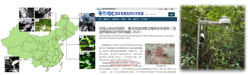
Distributed Vegetation Index Project of CERN Network Biological Subcenter, Chinese Academy of Sciences, to realize the national27Long-term automatic collection, transmission and online data management of vegetation index and multi-point NDVI leaf area index data and images of plant communities at four ecological stations, covering four major categories: forests, deserts, grasslands and farmlands.

Technical Parameters
| in good orderdisposition(usually used in the negative) have the possibility of | Automated Data Acquisition and ManagementThe system automatically acquires, stores and transmits community image data that can be extracted from the leaf area index of plant communities, and realizes automatic storage and intelligent management of image data. Remote real-time monitoringIt supports remote online viewing of live images and equipment operation status to ensure data visualization management and facilitate real-time monitoring and analysis. Data security and backup mechanismsThe synchronized backup technology of data collector is adopted to ensure that the data are not lost and to guarantee the integrity and reliability of the monitoring data. Intelligent power management and power failure self-recovery functionWith real-time battery power monitoring function, low battery automatically triggers an alarm to avoid the impact of data collection due to power interruption. The system can restart automatically when the power supply is restored after a power failure, without manual intervention, to ensure continuous and stable operation. High stability and environmental adaptabilityThe whole machine adopts wind, lightning and extreme climate resistant design, with strong system stability, suitable for long-term monitoring tasks in the field. | |
| Imaging Leaf Area Index Sensor | Two sensor types are available depending on the vegetation: downward-facing and upward-facing. | |
| imaging resolution | 5 megapixels | |
| field of view | 120° | |
| Downward-facing shot type requires acquisition of community RGB image and NDVI image, supports leaf area index calculation | ||
| With wireless communication module, support jpeg original image return | ||
| digitalcollector | Supports on-site data backup with 64G of storage space With breakpoint retransmission and 5 times retransmission function Supports remote upgrade and modification of acquisition frequency Support wired communication interface: Ethernet network port, USB, RS232, RS485 Support wireless communication: support wifi connection, support 4G network Support access to GPS module to realize the function of positioning and calibrating time. | |
| Data processing software | Supports batch processing of raw time series image data: filtering, culling and interpolation | |
| Based on image data, leaf area index can be imported and calculated both stand-alone and online in batch. | ||
| Functions such as time series curve fitting and presentation | ||
| Supports free selection of image ranges for calculation by region of interest in an image | ||