Articles & News
Understanding Temperature in an ”Imaging” Manner
In ecological and environmental monitoring, temperature is never a single point variable. Whether it is the vegetation canopy, the ground surface, the understory space, or urban green spaces, the temperature between different locations [...]
Seeing Photosynthesis: Innovation and Practice of Domestic SIF Measurement System
SIF (Sunlight Induced Chlorophyll Fluorescence) is like a precise doctor who uses a specialized "stethoscope" to directly capture vegetative photosynthesis [...]
"Going Out", Dialogue with the World -- With Science and Technology as a Bridge, StarView Shows the Charm of Chinese Scientific Instruments in International Academic Conferences
Recently, StarView participated in the 22nd Asia Oceania Geoscience Symposium (AOGS 2025) in Singapore for Asian and international research peers [...].
scientific and technological nova
The equipment independently developed by Beijing StarView Technology Co., Ltd. covers a number of series of products, such as multi-functional climate and vegetation index camera, ground monitoring network for vegetation canopy structure parameters, sunlight-induced chlorophyll fluorescence spectrometer, and soil multi-parameter wireless sensing network.
These equipments play an important role in the fields of terrestrial ecology, agroforestry science and dual-carbon goals. Through close integration with remote sensing satellite technology, we have realized large-scale, long time-series, all-weather, fully automated monitoring of vegetation growth, biodiversity and environmental elements, providing strong data support for scientific research.
XST-PhotoNet-FVC
Vegetation Cover Meter
Based on the automatic vegetation extraction algorithm for natural lighting conditions (MSI-Kmeans), through the training of a large amount of data and the number of features, to realize the accurate classification of the vegetation in the image with the background (soil or sky), non-vegetation, and the shadow of vegetation in a variety of lighting conditions, and to calculate the degree of vegetation coverage (the degree of coverage obtained from the upward observation of the forest, often also known as the degree of lushness). ......
XST-VINet
Fully automated vegetation index meter
It consists of several sub-nodes and aggregation nodes with 6 spectral absorption channels on the upper and lower sides, and is a networked monitoring instrument for vegetation index based on IoT architecture. It is capable of automatic monitoring by multi-node wireless networking, obtaining long time series of vegetation index, and uploading the aggregated data to the server in a unified way. ......
XST-PhotoNet-NDVI
Spectral Climate Monitoring System
The self-developed spectral climate monitoring system is based on accurate multi-spectral imaging technology and built-in multiple climate and vegetation index algorithms, realizing online automated monitoring of plant climate. It provides professional solutions for agricultural, forestry and grassland plant growth monitoring, ecological environment research, remote sensing ground verification and other fields of scientific research work. ......
StarView Sponsors the 1st China Symposium on Remote Sensing of Ecosystems in Shenzhen
Remote sensing of ecosystems takes ecosystems as its objects and monitors and assesses ecosystem types and patterns, ecosystem functions and ecosystem services. New-generation satellites and sensors provide a new data source for ecosystem remote sensing, and the "ecological cloud" provides an opportunity for all people to participate in ecosystem monitoring and supervision, as well as technical support for the assessment of the ecological effects of major projects.
XST sponsored the first China Ecological System Remote Sensing Academic Symposium in Shenzhen, aiming to assist the new generation of satellites and sensors in providing more powerful data sources for ecological system remote sensing, as well as providing technical support for ecological effect. sensors in providing more powerful data sources for ecological system remote sensing, as well as providing technical support for ecological effect assessment of major projects. assessment of major projects.
Shenzhen Symposium on Ecological Remote Sensing
The purpose of the Specialized Committee on Ecological Remote Sensing of the Ecological Society of China is to bring together scientists in the fields of ecology and remote sensing, to promote the organic integration of ecology and remote sensing, and to pioneer and lead the development of remote sensing of ecosystems. The Specialized Committee was established inShenzhen subprovincial city in Guangdong, special economic zone close Hong Kongconvene (a conference or meeting)The First Chinese Symposium on Remote Sensing of EcosystemsIn addition, it builds an academic exchange platform for exploring the theories, methods and applications of remote sensing of ecosystems, and promotes the innovation and discipline construction of remote sensing of ecosystems.
The purpose of the Ecological Remote Sensing Professional Committee of the Chinese Society of Ecology is to bring together scientists in the fields of ecology and remote sensing, promote the organic integration of ecology and remote sensing, and explore and lead the development of ecosystem remote sensing. The purpose of the Ecological Remote Sensing Professional Committee of the Chinese Society of Ecology is to bring together scientists in the fields of ecology and remote sensing, promote the organic integration of ecology and remote sensing, and explore and lead the development of ecosystem remote sensing. The Special Committee held the first China Ecological System Remote Sensing Academic Symposium in Shenzhen, providing an academic exchange platform to explore the theory, methods, and methods of remote sensing. The Special Committee held the first China Ecological System Remote Sensing Academic Symposium in Shenzhen, providing an academic exchange platform to explore the theory, methods, and applications of ecological system remote sensing, and promoting innovation and disciplinary The Special Committee held the first China Ecological System Remote Sensing Academic Symposium in Shenzhen, providing an academic exchange platform to explore the theory, methods, and applications of ecological system remote sensing, and promoting innovation and disciplinary construction in ecological system remote sensing.
Our Advantages
autonomous algorithm
Completely independent research algorithms; and after a lot of practice has matured operation...
Internet of Things monitoring technology
IoT monitoring technology, real-time sensing, accurate data, to improve the efficiency of intelligent management...
Big Data Platform System
Make testing data clearer, more intuitive and smarter to manage...
Cooperation between universities and colleges
We have long-term close cooperation with many universities, botanical institutes and research institutes...
Widely recognized at home and abroad
The results of the LAI series have been cited more than 100 times in international journals including Remote Sensing of Environment, Science Bulletin, etc., with the highest citation of more than 120 times (2024)...
First-class after-sales service
We will provide you with the most professional and perfect after-sales service...
What are you waiting for?
This product is carefully designed with excellent environmental adaptability and can operate stably in hot deserts, cold polar regions, wet rain forests and dry plateaus. Its ability to withstand extreme climatic conditions ensures that it performs well in all places and meets the needs of different users, making it a truly all-around environmentally friendly product.
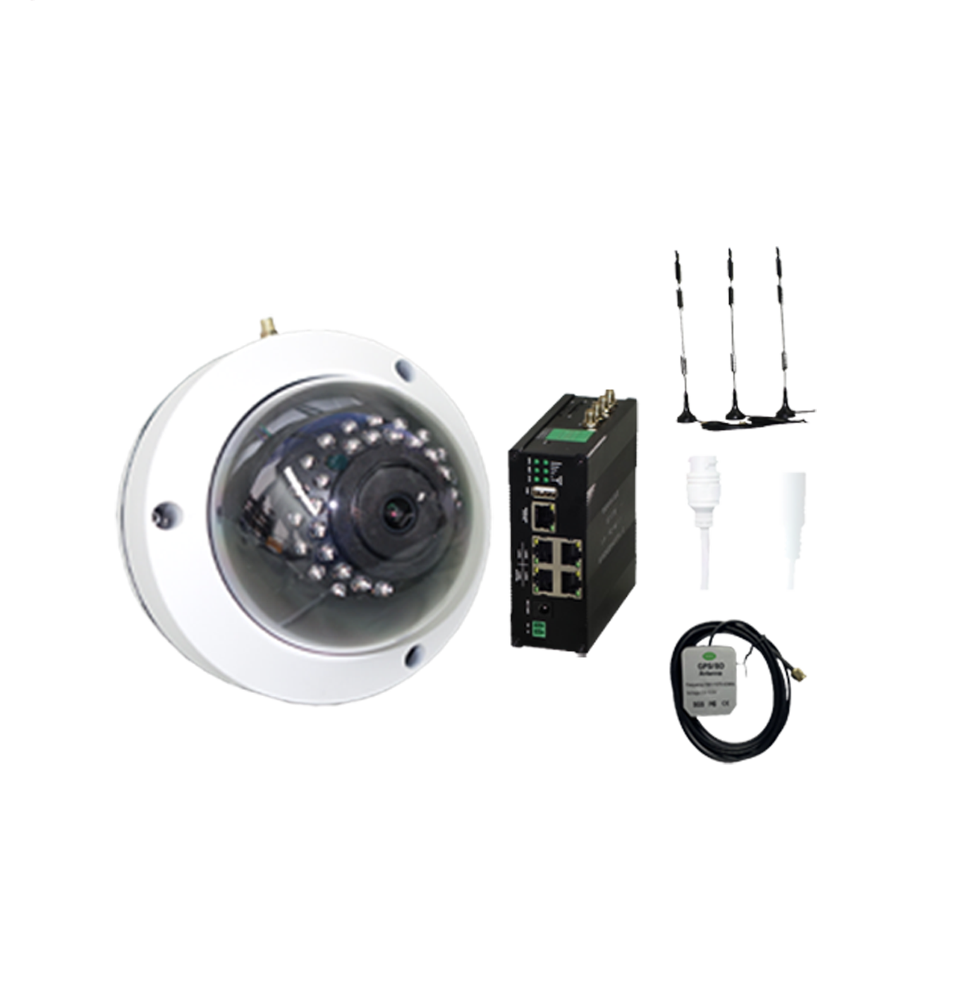
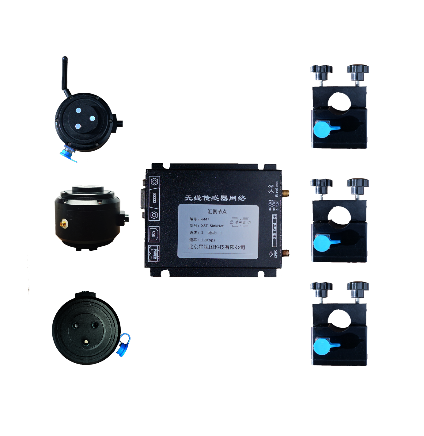
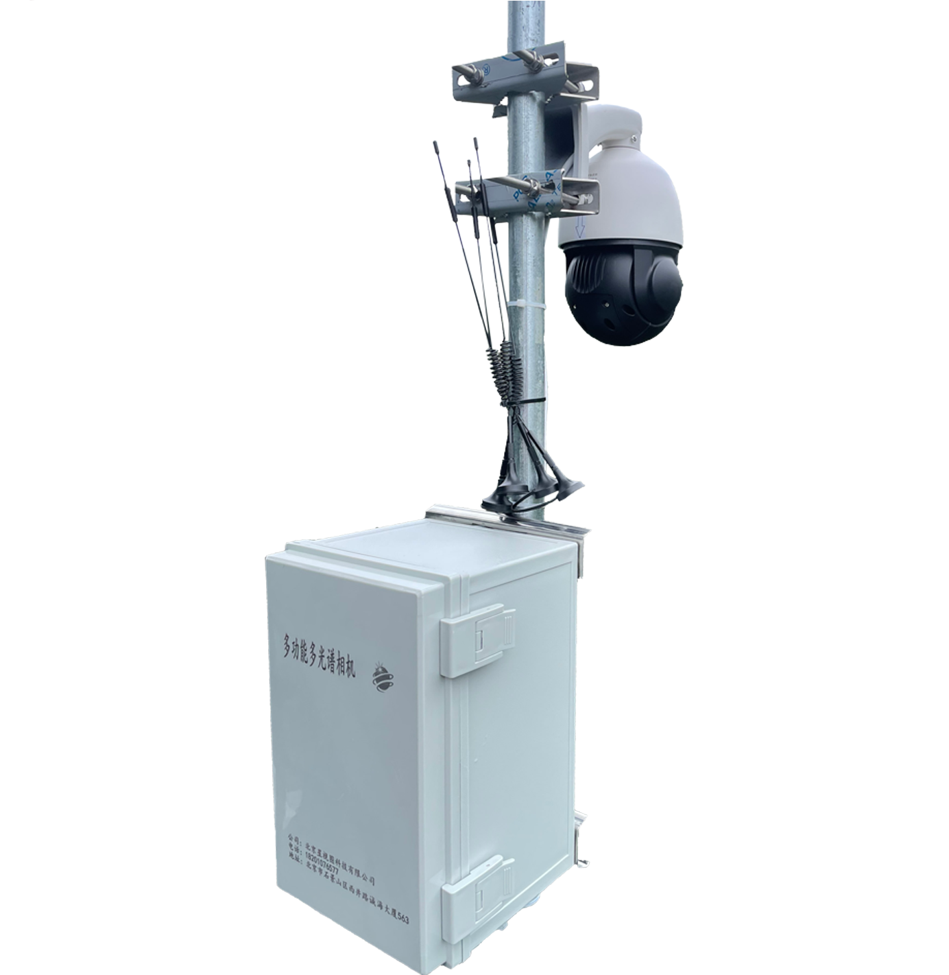
Our other products
Beijing StarView Technology Co., Ltd. has established close cooperative relationships with a number of top research institutions and universities, jointly promoting the construction of field ecological stations, resource survey and monitoring, remote sensing technology applications and other fields.
For more products, please visit the product section on the homepage.
Contact Us
If you would like to know us to learn about our products or cooperation or have questions or suggestions please contact us!